|
|
|
Framingham Maps & Transportation Info
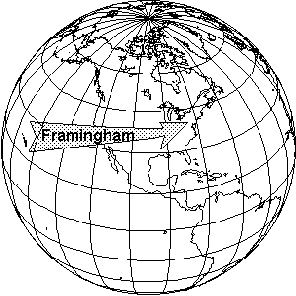
Where in the world is Framingham?
The Town of Framingham is located approximately 20 miles inland from the Atlantic Ocean on the east coast of the United States in the state of Massachusetts, (approximately halfway between the cities of Worcester and Boston).
City of Framingham Map Viewer
This map of Framingham links to aerial photos, property information, permits, voting precinct, zoning and other information on an address-by-address basis. To use map, type in a street address, (it must be a valid address located within the Framingham). If you are unsure of the exact address you can either type in a street name to see a list of addresses on that street, or click on a region of the map and use the "zoom tool" (on right side of map) to view parcels and lot lines. Click bottom rectangle on "zoom tool" to view map of entire town.
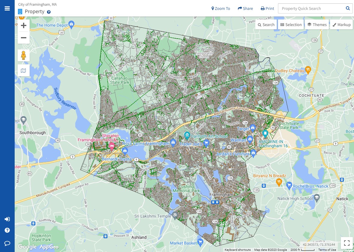
This map /data viewer can be found at: https://framinghamma.mapgeo.io/
Framingham Area Towns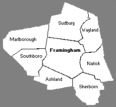 Framingham is surrounded by Sudbury, Wayland, Natick, Sherborn, Ashland, Marlboro, and Southboro, MA. Framingham is the hub of the region commonly called "MetroWest". |
Driving Directions to Framingham:
From Rt. 128 exit at Rt. 30 west through Wayland to Framingham or exit at Mass Pike west, follow to exit 13 or 12.
From Rt. 495 exit at Rt. 9 east in Southboro, follow to Framingham.
From Mass Pike exit 12 or 13.
Other Major Routes in Framingham:
Rt. 30 - between Wayland and Southboro
Rt. 9 - between Natick and Southboro
Rt. 126 - between Wayland and Ashland
Rt. 135 - between Natick and Ashland
Framingham Bus Services:
THE RIDE - transportation for handicapped and disabled people from the MBTA. Taxis and wheelchair vans used. (800) 533-6282
MetroWest Regional Transit Authority - formerly LIFT - local scheduled bus service in Framingham with connections to Natick Neighborhood Bus and other surrounding towns. (508) 532-5459. Follow this link for the MetroWest Regional Transit Authority -formerly LIFT Bus Schedule
Logan Express - transportation to and from Logan Airport. Depot is located in Shoppers World parking lot. (800)235-6426
Limoliner - Transportation from Boston to New York with boarding at Sheraton Framingham, Rt. 9 W.
Busy Bee - local transportation for Framingham elderly (508) 881-2120
Caravan for Commuters
Commuter Parking
Interactive Mapping Sites:
Google Maps - interactive mapping from Google. Includes Satellite View, Street View, traditional street maps, driving directions and other features.
Yahoo Local Maps - features driving directions, traditional and satellite maps, (and "hybrid" where street map is overlayed on satellite image.
Bing Mapping - features driving directions, traffic maps and other feature, (the maps are a bit slow to load and some features don't seem to work).
Other Map Sites:
National Geographic Maps - includes National Geographic's print maps collection, (some you can view online, others you can order to hang on a wall), "EarthPulse" interactive maps which link to human interest and nature related fact, photos and other info, online Atlas Jigsaw Map (puzzles/games),Univ. of Texas Map Collection - extensive resource for U.S., World, and Historical maps, links to other map sites
USGS National Mapping Info - United States Geological Survey Mapping Information Center
Library of Congress - Geography and Map Reading Room. Very interesting collection of maps and geo-specific images